Research
Main content start

Plant hydraulics
We study – using remote sensing, models, and stand-scale data – how the flow of water through plants affects the dynamics of evapotranspiration and photosynthesis.

The effects of small-scale trait variability on regional-scale ecosystem behavior
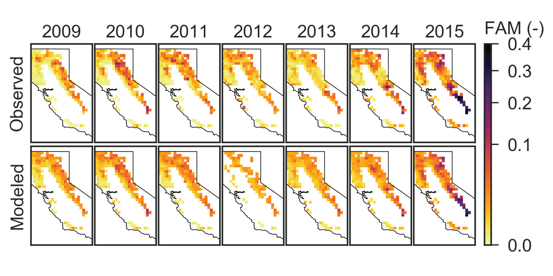
Our group studies the ‘effective ecosystem-scale’ ecosystem traits that account for all the small-scale variability and represent differences in behavior at intermediate stand-scales.

Water-carbon coupling in tropical ecosystems
This work focuses on understanding the seasonal variability of water uptake and evapotranspiration in the Congo river basin and the interplay between anthropogenic hydrolic & land use change, and fire in Insular Southeast Asia.


